
Tech Maven Geospatial
New Full Stack Web App
Vector GIS data to raster tiles (WMTS and XYZ) and WMS. Also GeoTIFF to Esri ImageServer and MapServer. Style once in GeoLibre; publish to map clients.
What you get
Style once in GeoLibre. Publish as WMTS and XYZ raster tiles, WMS, and Esri ImageServer / MapServer.
Raster tiles (WMTS & XYZ)
PNG tiles in EPSG:3857 with server-side symbols and labels.
WMS
TerraServe WMS 1.1.1 and 1.3.0 for ArcGIS, QGIS, and COP clients.
Esri ImageServer & MapServer
Styled vectors as MapServer, plus GeoTIFF to Esri services.
See it in action
These screens are the new full stack / GeoLibre workflow. The existing Home page still covers the iOS, Android, and Windows Vector2Raster product.
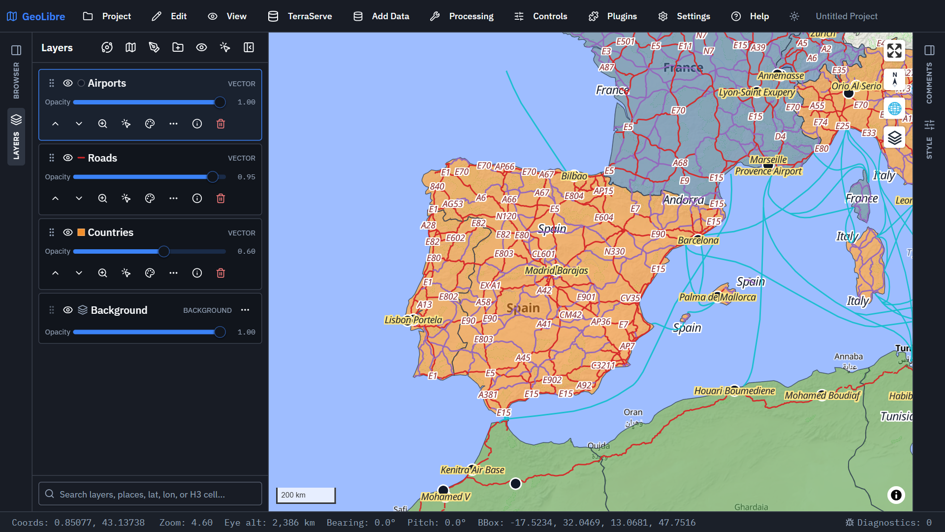
Styled vector layers
Load and style vector layers in GeoLibre, then publish as raster services.
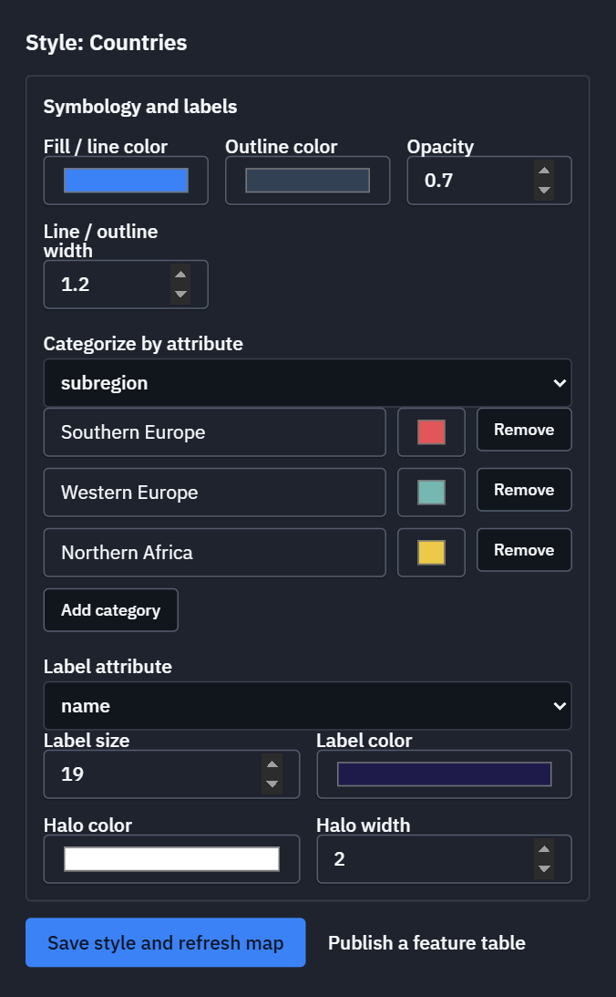
Shared style editor
One style for colors, labels, and opacity across every output.
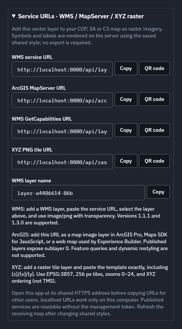
WMS, MapServer, and XYZ URLs
Copy service URLs and QR codes for COP and field clients.
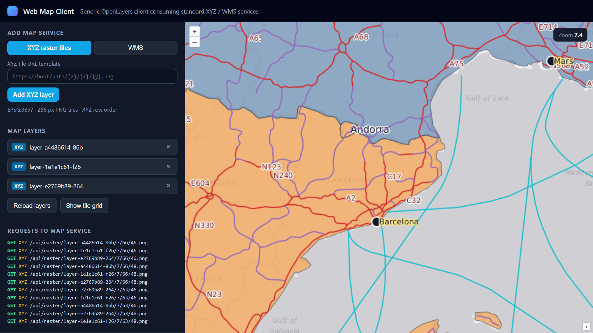
XYZ tiles on the map
XYZ URL in a map client with symbols baked into each PNG tile.
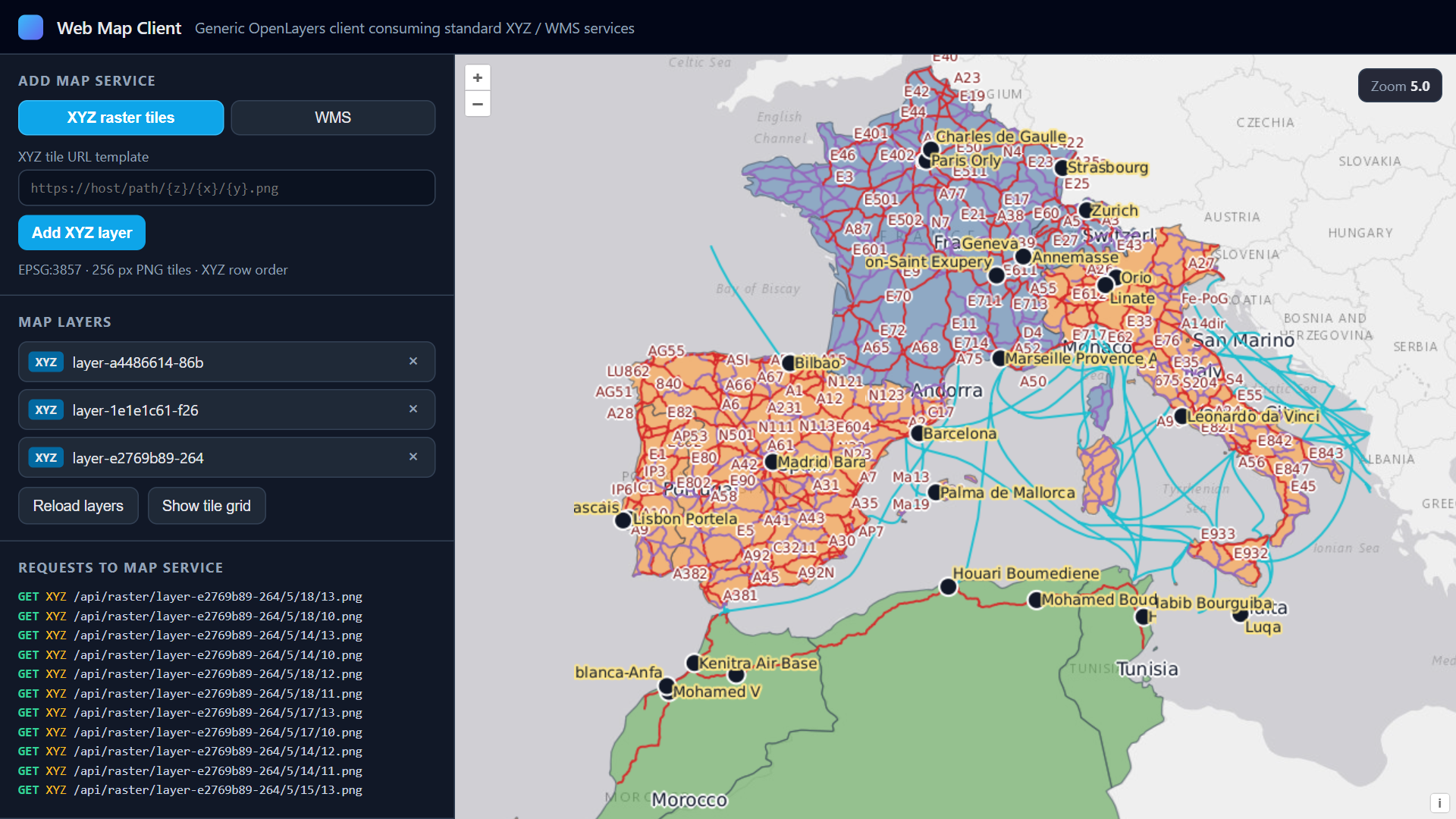
Regional tile overview
Same XYZ service at a wider zoom to check coverage.
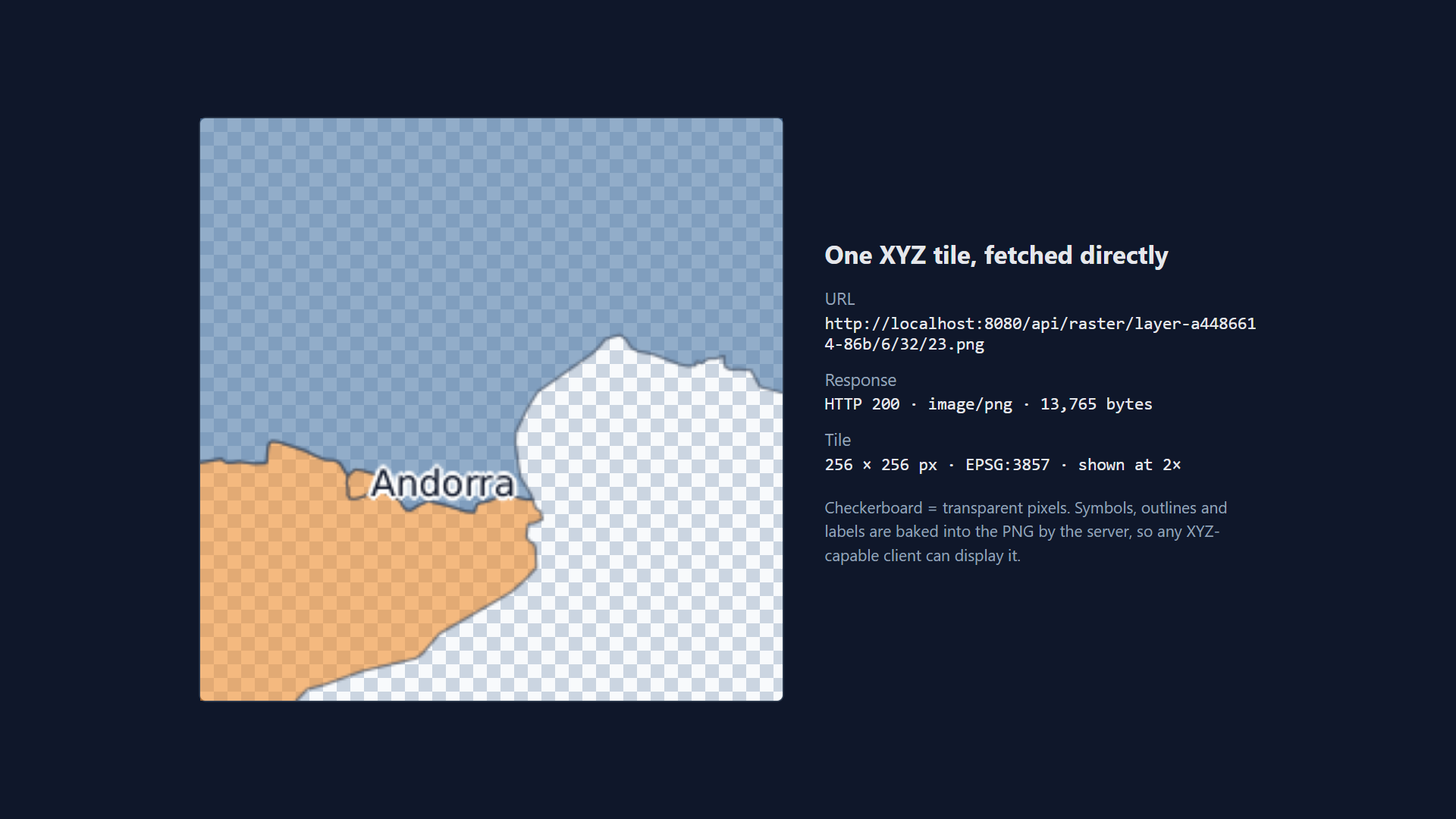
Single XYZ PNG tile
One 256x256 EPSG:3857 tile with transparency and labels.
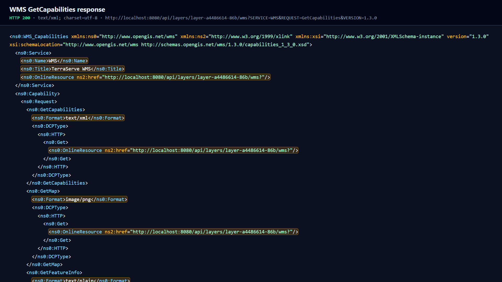
WMS GetCapabilities
TerraServe WMS 1.1.1 and 1.3.0 from the publish.
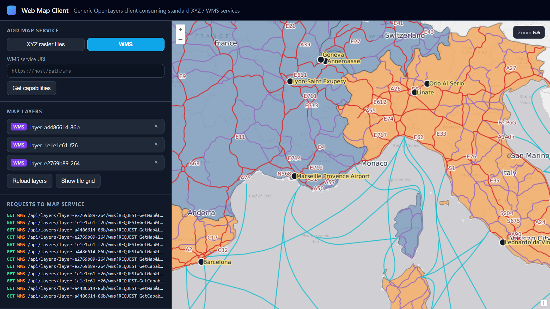
WMS on the live map
Same styled layers as a transparent WMS overlay.
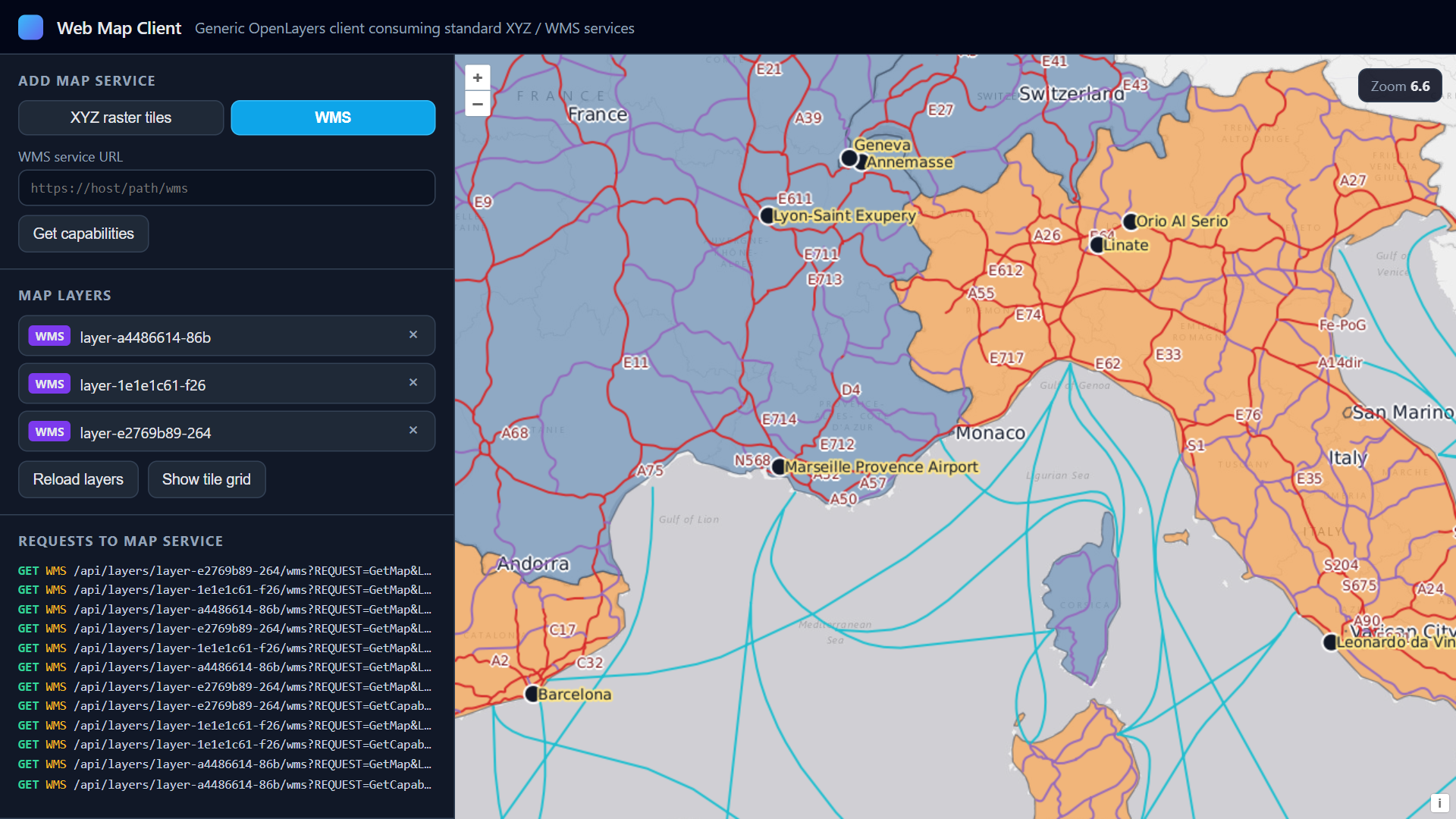
Before style update
Baseline symbology before you change the shared style.
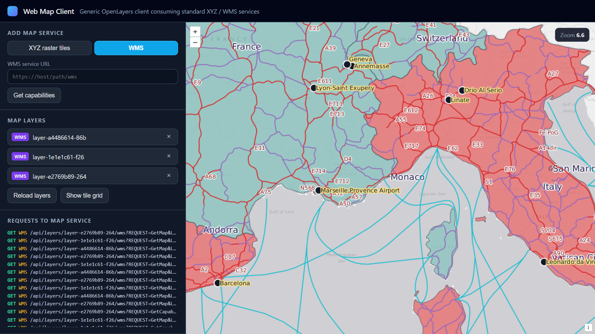
After style update
One style save refreshes WMS, MapServer, and XYZ together.
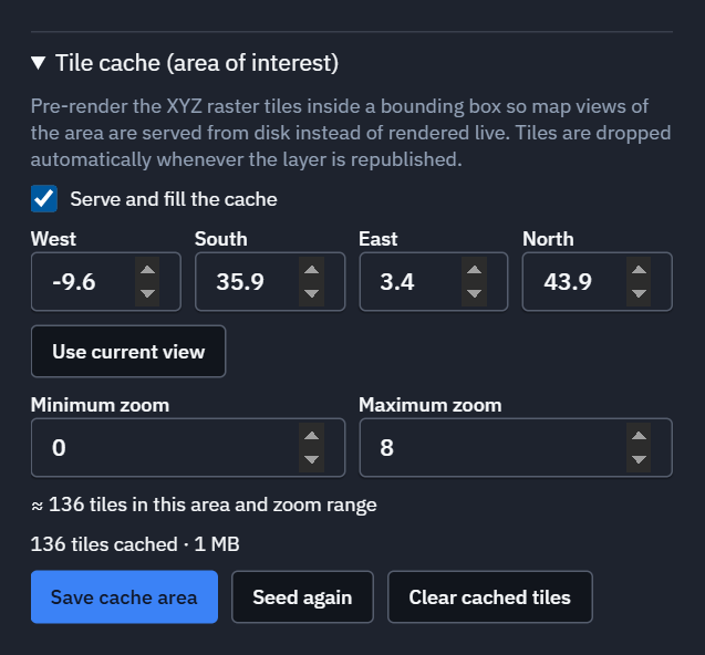
Area-of-interest cache
AOI bbox and zoom range, pre-rendered XYZ for ATAK and COP.
Walkthroughs
Short clips of the publishing flow.
Publish GeoPackage with styling and labels
Load GeoPackage, style in GeoLibre, publish as raster.
XYZ raster tiles
Open the XYZ URL and pan cached PNG tiles.
WMS
Connect TerraServe WMS in ArcGIS, QGIS, or a web map.
Shared style updates all outputs
One style change updates WMS, MapServer, and XYZ.
XYZ area-of-interest tile cache
Seed an AOI for fast offline tile serving.
Need a custom build or offline data?
Contact Tech Maven Geospatial.
Contact Us